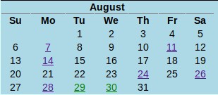
Our lidar system has been operating since 2001, however for data consistency only 2007-2018 datasets are listed in form of RCS (Range Corrected Signal). These datasets are still being preprocessed for the earlier lidar configurations while 2018-2014 are already pre-processed. One will see data calendars for availability as below: